King wraps up Hwy. 11 corridor plan that was decade in the making
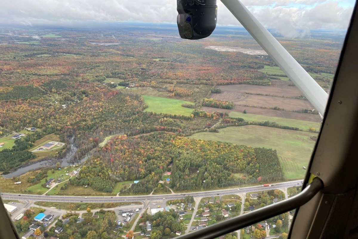
Corridor spanning from Bathurst in the east to Holland River in the west is recognized as contributing to the rural economy and is a key location with its proximity to Bradford and East Gwillimbury The long-awaited policy integrating the Highway 11 corridor at King’s north end has been approved. King councillors approved staff recommendations recently. Mayor Steve Pellegrini, along with staff support, also added two parcels to the plan area, and an intention to designate one property as a heritage site. The policies and legislation introduced new permitted uses and land use permissions in the area, to bolster local commercial activity. Staff noted the draft policy framework evolved based on consultation with landowners, interested parties, agencies and rights holders, including Indigenous communities, to ensure that the framework preserves and enhances natural heritage features and areas of archaeological potential. Located in the northeast corner of the township along Highway 11, spanning from Bathurst Street in the east to the Holland River in the west, the corridor is recognized as contributing to the rural economy and is located at a key location, given its proximity to urban centres in the abutting municipalities of Bradford West Gwillimbury and East Gwillimbury. The corridor functions as a highway commercial strip, with uses to serve the travelling public, such as service stations, motels, and restaurants. In addition, the corridor also contributes to King’s vibrant countryside with farmland, forests and wetlands, and is in close proximity to agricultural lands, including the provincially recognized Holland Marsh specialty crop area. The corridor is recognized as contributing to the rural economy, and as being crucial in supporting functional and economic connections to the agri-food network. The corridor is a part of the Greenbelt Plan’s protected countryside and contains historically established commercial and other uses; directs that a land use study of the Highway 11 corridor be conducted; and the study area limits would be determined during the study period. To support a long-term strategy that facilitates the regeneration of the Highway 11 corridor, the project team has developed a proposed land use planning framework. Staff drew praise for some “out of the box” uses in the area. The area will have access to the Bradford Bypass and it’s linked to King’s over-arching economic plans and strategies. It’s well suited for some agricultural related uses. Staff agreed to expand the area to include two Toll Road lots near the marina, and designate one ― at 650 Toll Rd. — as heritage, since it contains one of the few remaining gatekeepers houses. While the plans took almost a decade to complete, the results were worth waiting for, according to the mayor, and Coun. Avia Eek. Eek added the complex project took more than a decade, but staff took it and “ran with it.” Residents and stakeholders all came together to make it happen. By reducing development charges, streamlining application processes, collaborating with neighbouring municipalities like Bradford, and investing in strategic public-realm improvements, King Township can unlock the immense potential of the Highway 11 corridor. Designating the area under a “special policy” in the official plan can safeguard King’s long-term vision and provide a road map for responsible, future-forward development. These efforts will strengthen the local economy and boost employment opportunities, while paving the way for complete communities that balance economic prosperity, environmental stewardship, and a high quality of life for residents. With focused action and close collaboration—both internally and with regional partners—the Highway 11 corridor can become a dynamic gateway that reflects King Township’s commitment to sustainable development, community vitality, and forward-thinking municipal leadership. The township commenced the Highway 11 Corridor Study in October 2023 and retained planning consulting services from WSP Canada. The purpose of the study was to develop a land use planning framework to enable regeneration of the corridor by maximizing opportunities for properties within the corridor, while working within the context of the applicable provincial plans and policies. Phase 1 of the study involved development of a detailed engagement and consultation plan to ensure meaningful engagement opportunities were available for the public, council, landowners, interested parties, Indigenous communities, external agencies including York Region and the Lake Simcoe Region Conservation Authority, and neighbouring municipalities of Bradford and East Gwillimbury. Meetings and one-on-one interviews with landowners and stakeholders were held, along with discussions with York Region staff, members of LSRCA and Alderville First Nation. The proposed amendments conform to applicable provincial legislation and policies, including the Planning Act, Greenbelt Plan, new Provincial Planning Statement, Lake Simcoe Protection Plan and South Georgian Bay Lake Simcoe Source Protection Plan. These policies are designed to work together and enhance existing official plan policies to provide opportunities for new development while also requiring the protection, restoration and enhancement of the natural heritage system, archaeological resources, and the agricultural system. Mark Pavilons is a federally funded Local Journalism Initiative reporter at King Weekly Sentinel.