
Revolutionizing 3D Imaging: The Accessibility of LiDAR Technology
In the realm of advanced imaging techniques, LiDAR has emerged as a premier method for creating detailed 3D representations of spaces. LiDAR, which stands for Light Detection and Ranging, employs a series of rapid laser pulses that can cover extensive areas to generate precise three-dimensional maps. Historically, these systems were known for being cumbersome and prohibitively expensive, limiting their accessibility to researchers, large corporations, and specialized industries.
However, the landscape of LiDAR technology is changing dramatically. In recent years, advancements in both hardware and software have made it significantly more accessible for hobbyists and small businesses alike. The introduction of compact and cost-effective devices means that enthusiasts can now integrate LiDAR systems into affordable platforms such as the Raspberry Pi. This integration allows users to conduct LiDAR imaging without the hefty price tag that once accompanied such technology.
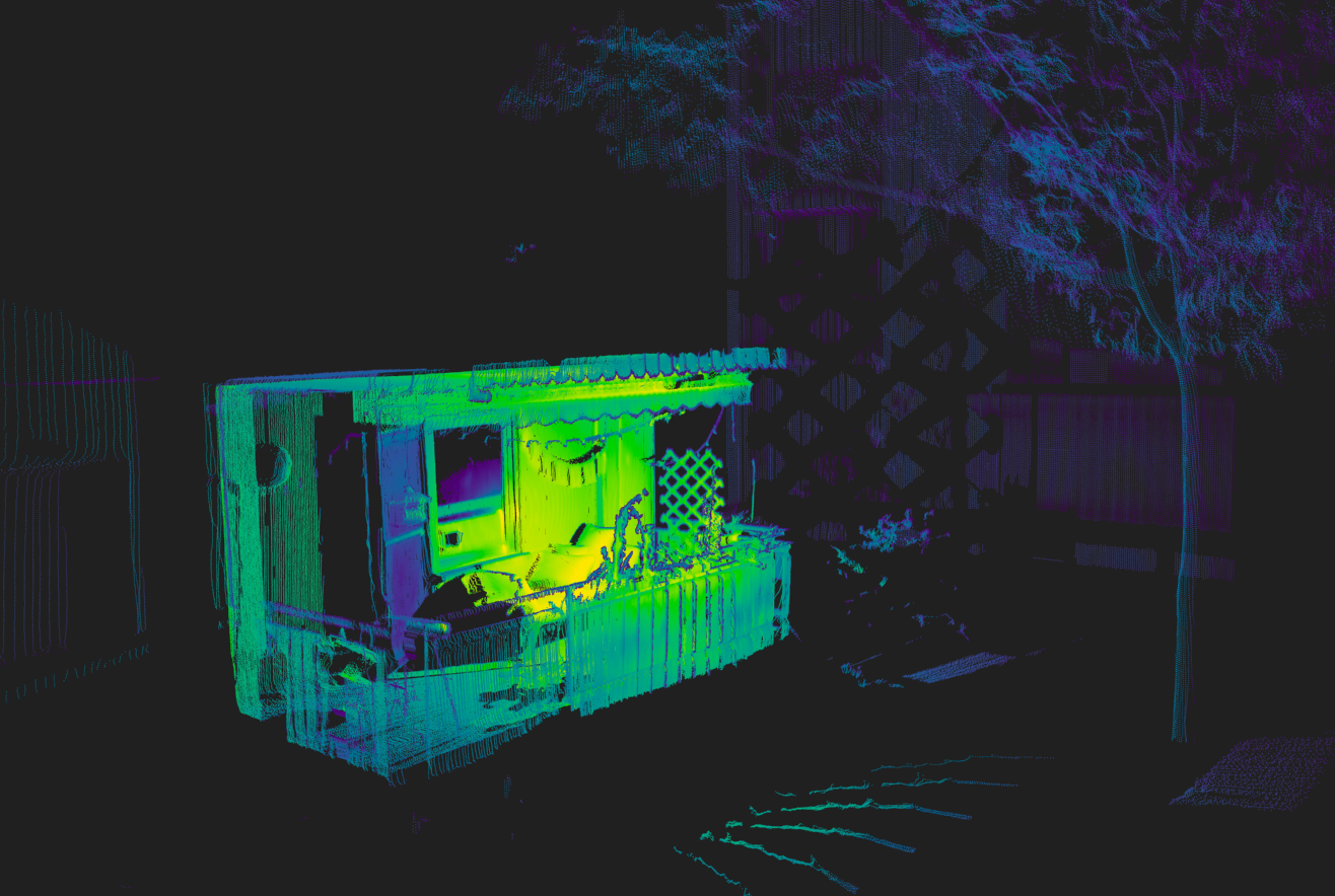
Recently, a new software suite has been developed to serve as a custom serial driver and scanning system specifically for the Raspberry Pi, particularly designed to work with popular LDRobot LiDAR modules, including the LD06, LD19, and STL27L. Although still under active development, this software boasts an impressive array of features that enhance its utility. Among these are real-time 2D visualizations, vertex color extraction, and the generation of immersive 360-degree panoramic maps utilizing fisheye camera images. Moreover, it supports export capabilities that facilitate integration with other analytical tools and software.
The hardware setup accompanying this LiDAR system is designed for efficiency and portability. It includes a stepper motor that enables rapid full-area scanning, while users can power the device using either a USB battery bank or a pair of 18650 lithium cells. This ensures that the system remains portable and self-sufficient during scanning sessions, making it ideal for fieldwork or remote applications.
LiDAR technology is increasingly recognized for its transformative potential across various sectors. Its applications range from autonomous vehicles, which rely on precise mapping and navigation systems, to small, Arduino-powered robots that require accurate environmental data to function effectively. The significant capabilities offered by devices like this Raspberry Pi-compatible LiDAR system provide unparalleled value at a reasonable cost, paving the way for broader adoption as the technology continues to evolve.
With the democratization of LiDAR systems, it is anticipated that we will witness an influx of LiDAR modules being incorporated into a wider array of hardware projects as the technology matures. As more individuals and industries explore the possibilities presented by LiDAR, it will undoubtedly impact how we interact with and understand complex 3D environments.
Special thanks to Dirk for the insightful tip on this groundbreaking development!